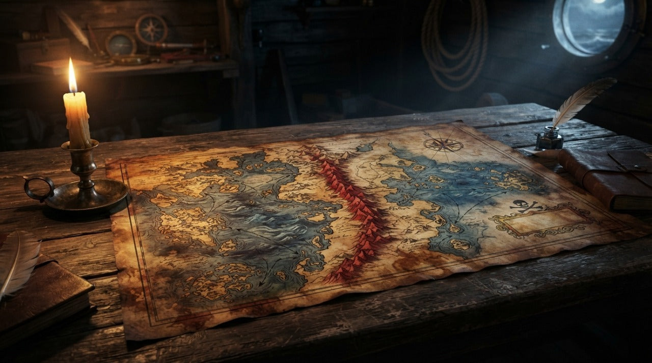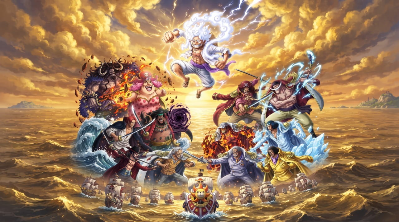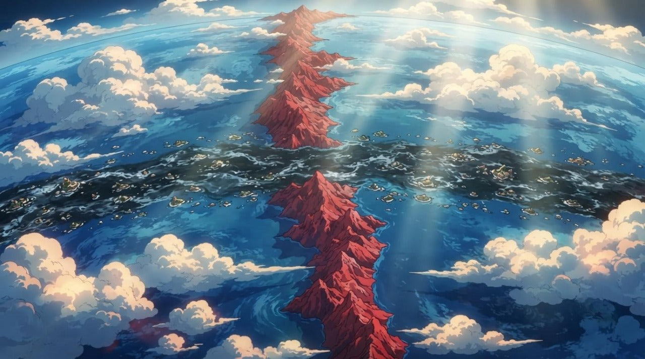
The world of One Piece is like no other: no continents, but a planetary ocean crossed by a single ring-shaped continent, a legendary route that all pirates covet, and four peaceful seas where dreams are born. To follow the Straw Hat crew’s journey—or simply understand where Wano is in relation to Marineford—you first need to know how to read this map.
In this guide, we explain the map of the One Piece world—the Red Line, Grand Line, the Calm Belts, and the four seas—with an interactive map to explore each stage of the journey, saga by saga.
The answer in short: the world of One Piece is a planetary ocean divided by two perpendicular belts—the Red Line, a unique continent that circles the globe, and the Grand Line, the sea route where most of the story takes place, bordered by two windless zones (the Calm Belts). Their intersection carves out four seas: North Blue, East Blue, South Blue, and West Blue. The second half of the Grand Line, beyond the Red Line, is called the New World.
Key takeaways
- 1 unique continent: the Red Line, a ring of land that encircles the entire planet
- 1 mythical route: Grand Line, nicknamed "the pirates' graveyard"
- 4 seas: North, East, South, and West Blue—Luffy comes from the East Blue, "the weakest"
- 2 Calm Belts: zones with no wind or currents, infested with sea kings, which isolate the Grand Line
- 2 halves of the journey: Paradise before the second crossing of the Red Line, the New World after
Summary
- The interactive map of the One Piece world
- One Piece geography at a glance
- The Red Line: the world’s only continent
- Grand Line: the route of all dangers
- The Calm Belts: the moat of monsters
- The four seas: North, East, South, and West Blue
- Paradise and the New World: the two halves of the journey
- The stages of the journey, in order
- Frequently asked questions about the One Piece map
The interactive map of the One Piece world
🧭 Click on an island on the map to explore its saga.
One Piece geography at a glance
Before going into detail, here is the complete cartography of the One Piece world in six zones. This is the entire logic of the journey: a ring-shaped continent, a route that crosses it, two impassable moats, and four seas cut out by the intersection.
| Zone | Location | Characteristics | Arcs taking place there |
|---|---|---|---|
| The Red Line | A ring of land circling the planet from north to south | The only continent; several thousand meters high. Marie Joie and the World Government are headquartered at its summit | Reverse Mountain, Fish-Man Island, Marie Joie |
| Grand Line | An oceanic strip perpendicular to the Red Line, all around the globe | The "pirates' graveyard": unpredictable weather and chaotic magnetic fields. Navigated using a Log Pose, island by island | Almost the entire story |
| The Calm Belts | On either side of the Grand Line | No wind, waves, or currents—above the nests of sea kings. Impassable without seastone | Amazon Lily, Impel Down |
| The four seas | The four quarters carved out by the Red Line / Grand Line intersection | East Blue (the mildest), North, South, and West Blue. Luffy, Zoro, Nami, Usopp, and Sanji are from the East Blue | The entire East Blue saga |
| Paradise | The first half of the Grand Line, from Alabasta to Sabaody | Nicknamed this… by those who survived the second half | Alabasta, Skypiea, Water 7, Thriller Bark, Sabaody, Marineford |
| The New World | The second half of the Grand Line, after the second crossing of the Red Line | The territory of the Emperors: each island presents a new level of danger | Dressrosa, Zou, Whole Cake Island, Wano, Egghead, Elbaf |
The Red Line: the world’s only continent

The Red Line is a reddish wall of land, several thousand meters high, that encircles the entire planet from north to south. It is the only continent in One Piece: everything else is just islands and ocean. You don't go around it—you go over it (Reverse Mountain), under it (Fish-Man Island, 10,000 meters deep), or via its summit, where Marie Joie and the World Government reside. The crew crosses it twice: at the entrance to the Grand Line, and then at the passage to the New World.
It is also the only border the Marines truly hold: their headquarters is built against the Red Line, and our Marine HQ.3 warship is exactly the kind of vessel that patrols that wall.
Grand Line: the route of all dangers

Grand Line is the oceanic strip that runs perpendicular to the Red Line, all around the globe. This is where the One Piece and almost the entire story reside. Its reputation as a "pirates' graveyard" comes from its unpredictable weather and chaotic magnetic fields: a standard compass goes crazy there. Navigators use a Log Pose, which records an island's magnetic field and points to the next—which is why the journey is done island by island, in a fixed order, exactly as followed in our complete guide to One Piece arcs and sagas in order.
Only one crew ever sailed it to the end: Gol D. Roger’s, aboard the Oro Jackson — which we have reproduced at display-case scale, alongside the Thousand Sunny that sails the same route today.
The Calm Belts: the moat of monsters

On either side of the Grand Line lie the Calm Belts: no wind, waves, or currents. A sailboat would be stranded there—right above the nests of sea kings, gargantuan sea monsters. This is why you don't enter the Grand Line "from the side": only Navy ships, lined with seastone, dare to risk it. These natural moats make the Grand Line a closed world, with Reverse Mountain as the entry gate.
The Kuja, for their part, cross them without fear: their Perfume Yuda is towed by a sea serpent, the only known way through a Calm Belt without an engine.
The four seas: North, East, South, and West Blue

The intersection of the Red Line and the Grand Line carves the global ocean into four seas. Each has its own character: East Blue, reputed to be the mildest, is nonetheless the birthplace of Luffy, Zoro, Nami, Usopp, and Sanji—and the King of the Pirates himself; North Blue is the native sea of Trafalgar Law and Sanji (through his family); South Blue and West Blue complete the picture, homelands to characters like Boa Hancock… and Nico Robin, born in Ohara, in the West Blue.
West Blue also sheltered an island you won't find on any map: God Valley, erased from the world in the aftermath of the battle that ravaged it thirty-eight years ago—the subject of the One Piece God Valley film expected in 2027.
East Blue is where it all starts: the Going Merry given to the crew at Syrup Village, and the Red Force, Shanks’ ship, moored at Fuchsia on the day everything begins.
Paradise and the New World: the two halves of the journey

The first half of the Grand Line—from Alabasta to the Sabaody Archipelago—is nicknamed Paradise… by those who survived the second half. Beyond the Red Line begins the New World, territory of the Emperors, where each island represents a different level of danger: this is where the events of Dressrosa, Whole Cake Island, Wano, and the final saga take place. It is also in Wano that Zoro returns Shusui and receives Enma—the complete history of his swords tells the tale. On our interactive map above, the border is marked by the second red band—click on either side to measure the distance traveled.
The New World can be read through its ships: the Moby Dick of Whitebeard, the Queen Mama Chanter of Big Mom and the Wind Granma of Dragon each hold a piece of the map.
The stages of the journey, in order
The same route, in a list—each stage links to the corresponding section of our complete guide to One Piece arcs and sagas:
- East Blue—the formation of the crew
- Reverse Mountain—entering the Grand Line
- Alabasta—Vivi's kingdom against Baroque Works
- Skypiea—the sky island
- Water 7 & Enies Lobby—the declaration of war against the world
- Thriller Bark—the mansion of shadows
- Sabaody, Impel Down, and Marineford—the Summit War
- Fish-Man Island—the passage to the New World
- Punk Hazard & Dressrosa—the fall of Doflamingo
- Zou & Whole Cake Island—the duel against Katakuri
- Wano—the war of Onigashima
- Egghead and then Elbaf—the final saga, ongoing
And to bring the journey to life: each saga has its heroes in our One Piece figurine collection, from the indestructible Buggy to the Mirror-World Katakuri statue.
And for those who would rather hang the route on a wall than follow it on screen, our wanted posters cover the crew stage by stage, from God Usopp’s bounty to Luffy’s in Gear 5.
Frequently asked questions about the One Piece map
Why can't you just go around the Red Line?
Because it circles the entire planet without interruption: it is a continuous ring. The only passages are Reverse Mountain (over it, via currents), Fish-Man Island (under it, at a depth of 10,000 meters), and the official Government gates at Marie Joie.
What is the Calm Belt in One Piece?
These are the two oceanic strips without wind or currents that border the Grand Line on each side. Impassable to sailing and populated by sea kings, they isolate the Grand Line from the rest of the world—only Navy ships lined with seastone can cross them.
How do pirates navigate the Grand Line?
With a Log Pose: a special compass that locks onto an island's magnetic field and points toward the next one. Standard compasses are useless, and this system dictates an island-by-island journey in a nearly fixed order.
Which sea does Luffy come from?
From the East Blue, reputed to be the most peaceful of the four seas—Gol D. Roger's home as well. It is the starting point of the series and our interactive map.
Where is Laugh Tale located on the map?
At the very end of the Grand Line, after the New World: it is the final island, where Gol D. Roger left the One Piece. Its exact position can only be found by gathering the four Road Poneglyphs—no one has reached it since Roger.
How many seas are there in One Piece?
Four: East Blue, North Blue, South Blue, and West Blue. They are born from the division of the global ocean by the intersection of the Red Line and the Grand Line. Added to this are the Grand Line itself and the two Calm Belts, which are not seas per se but are distinct navigational zones.
What is the New World in One Piece?
It is the second half of the Grand Line, which begins after the second crossing of the Red Line. The first half is called Paradise; the New World is the territory of the Emperors, where Dressrosa, Whole Cake Island, Wano, and the entire final saga take place.
Is the world of One Piece a planet?
Yes. It is a planet almost entirely covered by water, encircled by a unique ring-shaped continent—the Red Line—which the Grand Line crosses perpendicularly. Everything else is just islands and ocean, which explains why travel is only possible by boat.
From the map to the display case
Understanding the map is about measuring the journey: from a village in the East Blue to the giants of Elbaf, each stage has its legends—and its figures. Find the heroes of each sea in our One Piece figurine collection, and follow their story saga by saga in the complete guide to arcs in order. Happy sailing. 🧭
And if you would rather hold a piece of that world than look at it: our Devil Fruit replica fits in one hand, and the rest of the One Piece range rebuilds the map at shelf scale.